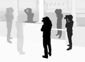
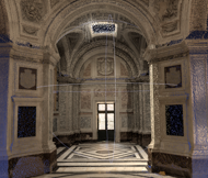
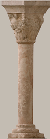
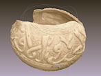
The accurate 3D documentation of architectures and heritages is getting very common and required in different application contexts. The potentialities of the image-based approach are nowadays very well-known but there is a lack of reliable, precise and flexible solutions, possibly open-source, which could be used for metric and accurate documentation or digital conservation and not only for simple visualization or webbased applications. This site presents a set of photogrammetric tools developed in order to derive accurate 3D point clouds and orthoimages for the digitization of archaeological and architectural objects. The aim is also to distribute free solutions (software, methodologies, guidelines, best practices, etc.) based on 3D surveying and modeling experiences, useful in different application contexts (architecture, excavations, museum collections, heritage documentation, etc.) and according to several representation needs (2D technical documentation, 3D reconstruction, web visualization, etc.).


Institut Géographique National, Paris_FR
MAP-Gamsau Lab (CNRS/MCC), Marseille_FR
Fondazione Bruno Kessler - 3DOM, Trento_IT


Copyright 2010-2011 : Institut Géographique National - MAP-Gamsau Lab ( CNRS/MCC ) - Fondazione Bruno Kessler ( 3DOM )